
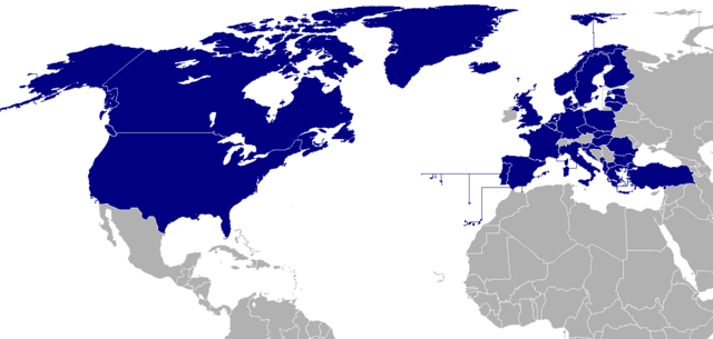
Datei:Map of NATO countries.png

Größe dieser Vorschau: 800 × 381 Pixel. Weitere Auflösungen: 320 × 152 Pixel | 640 × 305 Pixel | 1.404 × 668 Pixel.
Originaldatei (1.404 × 668 Pixel, Dateigröße: 23 KB, MIME-Typ: image/png)
| Dieses Medium wird direkt von Wikimedia Commons aus eingebunden. Quellenangaben und Lizenzbedingungen werden von der dortigen Dateibeschreibungsseite direkt hier angezeigt (siehe unten). |

|
File:NATO members (blue).svg ist eine vektorisierte Version dieses Bildes. Diese sollte an Stelle des Rasterbildes verwendet werden, sofern sie nicht schlechter ist.
File:Map of NATO countries.png → File:NATO members (blue).svg
Für weitere Informationen siehe Help:SVG. |
Beschreibung
| Beschreibung | |||||||||
| Quelle | taken from the English Wikipedia. | ||||||||
| Urheber | The image was originally made by User:Donarreiskoffer. This version (corrected regarding Northern Ireland) is identical (except the size) to one uploaded by en:User:Mrowlinson which didn't have a copyright license. | ||||||||
| Genehmigung (Weiternutzung dieser Datei) |
|

.svg)
Dateiversionen
Klicke auf einen Zeitpunkt, um diese Version zu laden.
| Version vom | Vorschaubild | Maße | Benutzer | Kommentar | |
|---|---|---|---|---|---|
| aktuell | 20:37, 7. Mär. 2024 | | 1.404 × 668 (23 KB) | Iktsokh | Sweden |
| 14:29, 5. Apr. 2023 |  | 1.404 × 668 (43 KB) | TheThomanski | Finland | |
| 14:25, 23. Okt. 2021 |  | 1.404 × 668 (66 KB) | Dylmur | Changed blue dot near Panama to gray | |
| 11:36, 2. Aug. 2021 |  | 1.404 × 668 (66 KB) | Dylmur | Making Cape Verde and Liechtenstein gray as they aren’t members of NATO | |
| 11:31, 2. Aug. 2021 |  | 1.404 × 668 (66 KB) | Dylmur | Reverted to version as of 23:52, 31 July 2021 (UTC) | |
| 11:30, 2. Aug. 2021 |  | 1.404 × 668 (370 KB) | Dylmur | Cape Verde is not a member of NATO | |
| 01:52, 1. Aug. 2021 |  | 1.404 × 668 (66 KB) | Dylmur | Proper PNG | |
| 07:27, 22. Mai 2020 |  | 800 × 381 (105 KB) | TheFallen97 | French Guiana not part of North Atlantic Treaty. | |
| 11:39, 28. Mär. 2020 |  | 1.404 × 668 (70 KB) | Dylmur | Reverted to version as of 09:38, 28 March 2020 (UTC) hope it works again | |
| 11:38, 28. Mär. 2020 |  | 1.404 × 668 (44 KB) | Dylmur | Reverted to version as of 06:57, 27 September 2018 (UTC) |
Dateiverwendung
Keine Seiten verwenden diese Datei.
Globale Dateiverwendung
Die nachfolgenden anderen Wikis verwenden diese Datei:
- Verwendung auf en.wikipedia.org
- Verwendung auf fr.wikinews.org
- Verwendung auf pl.wiktionary.org
- Verwendung auf ru.wikipedia.org